Google put an image generator in Google Earth, then pulled it a day later
Nano Banana 2 let anyone type a prompt and get a fake satellite view of a real place. Researchers produced refugee camps and a nuclear plant that do not exist, and Google rolled the feature back within roughly 24 hours.
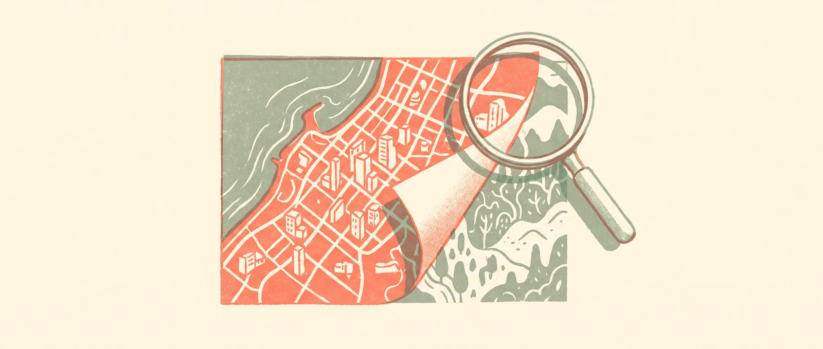
On 30 July, Google added an experimental feature to Google Earth: pick a spot on the map, tap “create image”, type what you want to see there, and the Nano Banana 2 image model would render it. Roughly a day later the feature was gone. Google said it was “rolling back” the tool while it works on stronger guardrails, after users started sharing generated images that appeared to break its policies.
The problem showed up almost immediately. Researcher Henk van Ess said he used the tool to produce fake refugee camps along the US border with Mexico and a nuclear plant in Iran, all rendered over real coordinates in an app people open specifically to find out what a place actually looks like. Open-source investigators, the people who verify war footage and disaster reports for a living, were among the loudest critics. The Federation of American Scientists published a piece with the deadpan title “Google Introduces Deepfake Satellite Imagery: It’s Fun!”. Google’s own statement conceded the core point: people “uniquely trust Google Earth for a reliable view of the world”.
What is behind this. Satellite imagery has always carried a particular kind of authority. It looks like a measurement rather than a picture, which is exactly why it turns up as evidence in reporting on conflicts, illegal mining, deforestation and border policy. A generated satellite image is not just another AI picture, it is a fake in a format that people have been trained for decades to treat as neutral. Google had a use case in mind that was not unreasonable, namely urban planners and architects sketching what a new development might look like. The gap between that and “render a war zone over my hometown” turned out to be one text box wide. It is worth noting that Nano Banana images normally carry SynthID, an invisible watermark, but a watermark tells you a file is generated only if someone bothers to check it, and a screenshot passed around a group chat is not going to be checked.
What this means for you: the practical takeaway is a habit, not a tool. Satellite and aerial imagery has now joined photos and video in the category of things that can be convincingly faked from a sentence, so when one is used as proof of something, the question to ask is where it came from and who published it, not whether it looks real. It will look real. For anyone building with image models, this is a clean case study in why the launch question is not “does it work” but “what is the worst sentence someone can type into it”. Google, to its credit, pulled the feature in about a day rather than defending it, which is faster than this industry usually moves.
Sources
- Google: Transform any place with Nano Banana in Google Earth
- Ars Technica: Google Earth risked ruin with retracted AI tool for making fake satellite pics
- BBC: New Google Earth AI tool could fuel misinformation, experts say
- Federation of American Scientists: Google Introduces Deepfake Satellite Imagery
Source: https://blog.google/products-and-platforms/products/earth/nano-banana-google-earth-image-generation/
One in four malicious breaches now involves AI, and those cost a million dollars more
IBM's annual breach report puts AI-enabled attacks at 25 percent of malicious breaches, up 56 percent in a year, averaging 6 million dollars against a global average of 4.99 million.