DeepMind Maps the World's Forest Types at 10-Metre Detail
ForTy, a new Google DeepMind and World Resources Institute map, sorts global land into primary, regrowth, planted and plantation forest, with honest accuracy limits.
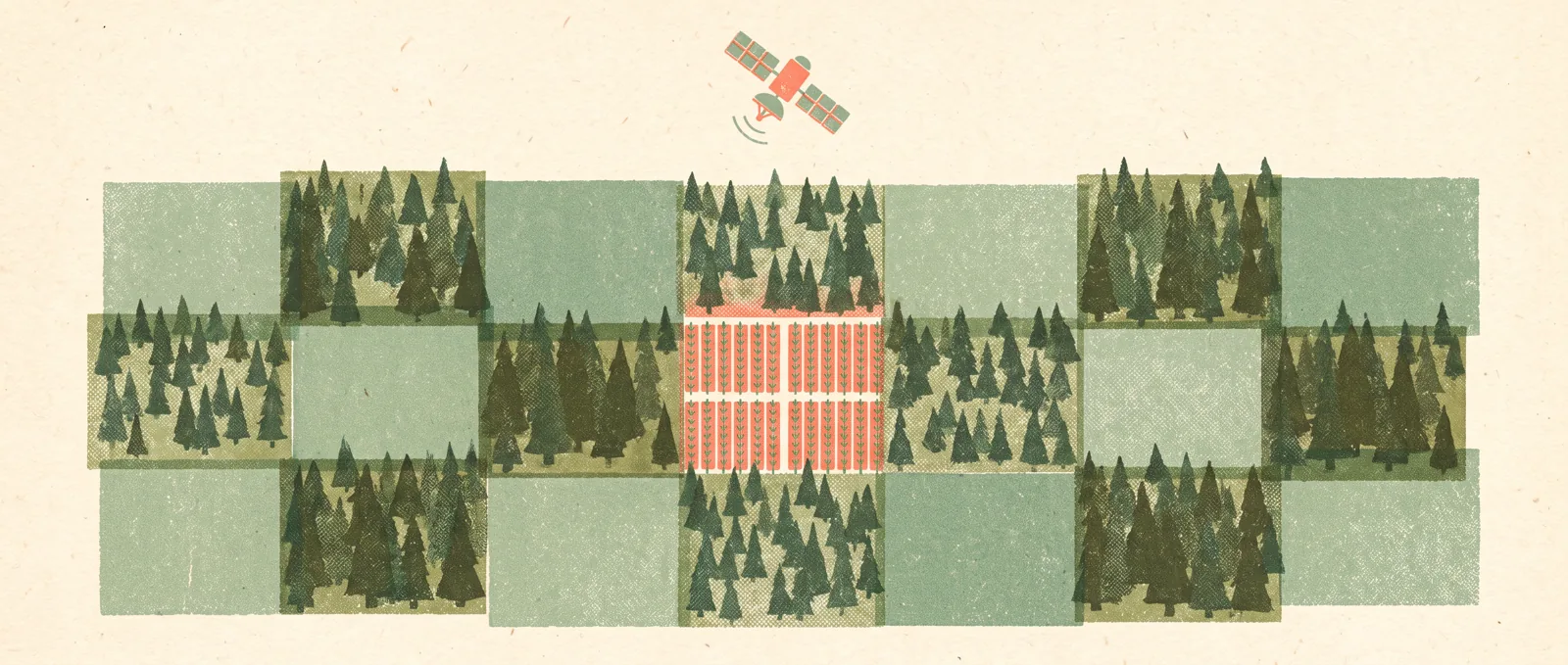
Google DeepMind and the World Resources Institute have released ForTy, short for Forest Typology, a global map that does not just ask “is there a tree?” but “what kind of forest is it?” It covers the year 2020 at 10-metre resolution and sorts land into six classes: primary forest, naturally regenerating forest, planted forest, plantation forest, tree crops such as oil palm, rubber and cocoa, and other land. The authors call it the first global map of this kind.
The timing is no accident. The EU’s deforestation regulation bars goods linked to forest clearing after December 31, 2020, so companies need a 2020 baseline for judging supply-chain risk. ForTy offers one for free under a CC BY 4.0 licence, including inside Google Earth Engine.
Technically, it builds on AlphaEarth Foundations, a model that compresses satellite data (optical, radar, laser and climate simulations) into a compact “fingerprint” for each 10 by 10 metre square of ground. Three model stages then refine the labels, and Gemini helped adapt older training data to EU definitions. Experts added about 43,000 corrected examples, for instance fixing European vineyards mislabelled as tree crops.
The accuracy numbers deserve a careful read. Overall accuracy is 90.2 percent, but the authors say the easy “other land” class inflates it. Primary forest is identified correctly 89 percent of the time. Tree crops and planted forests are right only about half the time, and plantations about 60 percent. The model overestimates primary forest in Asia by roughly 200 million hectares, largely Russian conifer forest, and misses about 94 million hectares of open dry forest in Africa. Against the European Commission’s own maps on the same test data, ForTy scored higher: 90.9 percent against 87.8 percent for forest types.
What’s behind it: Satellites can see green, but not management. Telling a naturally regrown forest from a planted one is partly a judgement call, so the team used a 40-year rotation cutoff and admits it fits some regions badly. That is why per-class confidence scores are included: users can set their own thresholds instead of trusting one label.
What this means for you: For most readers, nothing changes today. If you work in sustainability, sourcing or conservation, ForTy is a useful starting layer, but it is not proof that a specific plot is clean, and the weak classes are exactly the ones regulators care about. If you are just curious, it is a good example of what AI does well: turning a flood of satellite data into something a person can check, question and improve.
Sources
Source: https://deepmind.google/blog/beyond-tree-cover-mapping-the-worlds-forest-types/
Report: OpenAI Has Raised About $11 Billion of a $30 Billion Target
The Wall Street Journal reportedly says OpenAI secured roughly a third of its funding goal at a $1.25 trillion valuation, and is turning to wealthy individuals and a possible IPO.